Point Reyes National Seashore
Marin and the Bay, San Francisco
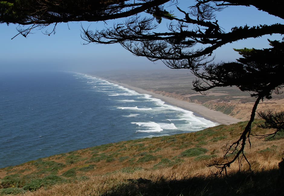
A National Park Service seashore in west Marin with three visitor centers and hiking listed by time and habitat.
Insider tip
Start at one of its visitor centers or the NPS page.
What the guides say about Point Reyes National Seashore
For Point Reyes, the National Park Service says the park is about 30 miles north of San Francisco and that public transport to the Bear Valley Visitor Center is the West Marin Stagecoach from San Rafael.
Nearby
Around Marin and the Bay
Muir Woods, Sausalito, Angel Island, the Headlands
Marin and the Bay has 8 places on the map. It runs from Fort Baker and the Marin Headlands at the Golden Gate north to Mount Tamalpais and Point Reyes.
Marin and the Bay has 8 places on the Roam San Francisco map: 8 day trips. Read the Marin and the Bay guide.
Good to know
- How long do you need at Point Reyes National Seashore?
- Plan for full day.
- When is the best time to visit Point Reyes National Seashore?
- Daytime.
Stay near Point Reyes National Seashore
Browse live availability and compare prices around Marin and the Bay.
See hotels near Point Reyes National Seashore on Booking.comPrices are for the night of Saturday 14 November. You can change the dates on Booking.com. If you book, Roam San Francisco earns a small commission from Stay22 at no extra cost to you.