Sutro Tower
Haight-Ashbury and the Panhandle, San Francisco
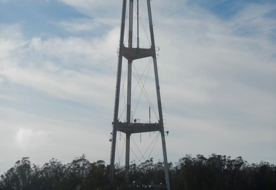
The 977-foot steel broadcast tower that began operating on July 4, 1973. Its official site calls it San Francisco's highest point and lists the television and radio stations it carries.
Insider tip
The tower is a landmark to see from the city's hills, and the official site covers what it does.
Nearby
Around Haight-Ashbury and the Panhandle
Buena Vista Park, the Panhandle, Haight Street pubs and breakfast, Kezar Stadium, Tank Hill and Sutro Tower
Haight-Ashbury and the Panhandle has 7 places on the map. It runs from Buena Vista Park along Haight Street to the Panhandle and the edge of Golden Gate Park, with Tank Hill and Sutro Tower on the hill to the south.
Haight-Ashbury and the Panhandle has 7 places on the Roam San Francisco map: 3 parks and gardens, 2 landmarks, 1 bar and 1 restaurant. Read the Haight-Ashbury and the Panhandle guide.
Good to know
- How long do you need at Sutro Tower?
- Plan for quick look.
- When is the best time to visit Sutro Tower?
- Clear day.
Stay near Sutro Tower
Browse live availability and compare prices around Haight-Ashbury and the Panhandle.
See hotels near Sutro Tower on Booking.comPrices are for the night of Saturday 14 November. You can change the dates on Booking.com. If you book, Roam San Francisco earns a small commission from Stay22 at no extra cost to you.